资源简介
FSDAF方法进行遥感数据时空融合,代码运行前需要新建temp文件夹,详情见文档-------------------------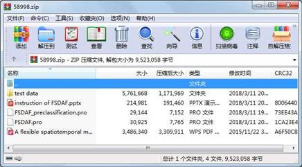
代码片段和文件信息
属性 大小 日期 时间 名称
----------- --------- ---------- ----- ----
文件 3486340 2015-11-22 03:02 A flexible spatiotemporal method for fusing images with different resolutions.pdf
文件 30925 2018-03-11 20:01 FSDAF.pro
文件 29144 2018-03-11 19:54 FSDAF_preclassification.pro
文件 214981 2018-03-11 20:00 instruction of FSDAF.pptx
目录 0 2018-03-11 20:01 test data\
文件 1382400 2015-11-22 12:05 test data\Landsat20041126
文件 298 2015-11-22 12:05 test data\Landsat20041126.hdr
文件 230400 2015-11-22 12:48 test data\Landsat20041126_SVM_classification
文件 540 2015-11-22 12:48 test data\Landsat20041126_SVM_classification.hdr
文件 1382400 2015-11-22 12:05 test data\Landsat20041228
文件 298 2015-11-22 12:05 test data\Landsat20041228.hdr
文件 1382400 2015-11-22 12:06 test data\MODIS20041126
文件 266 2015-11-22 12:06 test data\MODIS20041126.HDR
文件 1382400 2015-11-22 12:06 test data\MODIS20041228
文件 266 2015-11-22 12:06 test data\MODIS20041228.HDR
相关资源
- 遥感图像几何校正模型探讨
- 印度泰米尔纳德邦Noyyal流域利用GIS和
- 遥感技术在地质灾害中的应用
- 遥感原理与应用.rar
- SPOT-5影像在安徽省矿山地质环境遥感
- 浅析遥感图像解译在矿区公路建设中
- img格式遥感图像读取代码
- IDL+ENVI开发多光谱遥感图像DN值求辐亮
- 深度学习在遥感中的应用综述
- 论文研究 - 遥感与GIS结合的卡拉巴尔
- 青藏高原天然气水合物遥感探测研究
- 基于光谱指数的植被含水率遥感反演
- 基于遥感与GIS的石羊河流域生态环境
- 城市卫星遥感图像融合处理质量评价
- 基于模拟多光谱遥感影像的大气校正
- 批量MODIS数据IDL插件
- 微波遥感课程报告
- 图像分割方法在遥感图像分析中的应
- ENVI去云补丁Haze_tool文件及其使用说明
- 论文研究-基于Harris角点和SURF特征的遥
- Coyote’s Guide To:Traditional IDL Graphics:U
- 遥感影像几何纠正程序
- ENVI IDL入门教程
- 基于遥感与GIS的湖北省土地利用_覆被
- CGridListCtrlEx 组合ListCtrl应用
- STM8L051.串口接收IDLE中断.zip
- GOCI数据产品算法说明
- 基于神经网路的遥感图像分类
- 遥感地学分析_陈述彭等编著_
- 基于稳定夜间灯光遥感数据的城市群
 川公网安备 51152502000135号
评论
共有 条评论